

Drone LiDAR scanning for topography in Romania
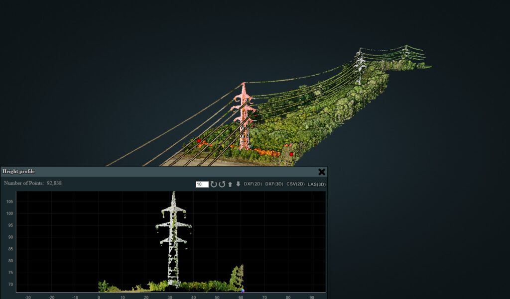
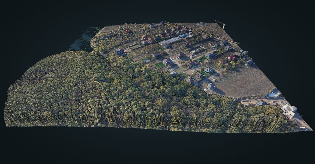
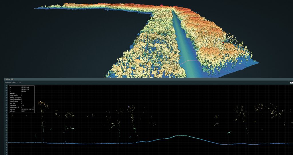
Discover LIDAR performs drone-based aerial surveys for infrastructure projects, vegetated land, technical corridors, urban areas and hard-to-access surfaces. Deliverables can include classified point clouds, digital terrain models, digital surface models, contour lines, profiles and orthophotos.
Deliverables useful for design
LAS/LAZ, DTM/DSM, DXF files, contour lines and outputs compatible with CAD/GIS workflows.
Fast for large areas
The drone reduces collection time for motorways, rivers, dikes, power lines and industrial sites.
Clear quoting
The online calculator starts from area or corridor length and helps estimate the budget quickly.